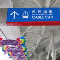
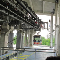
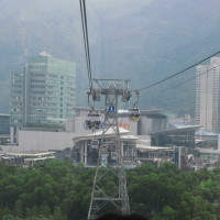
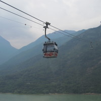
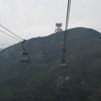
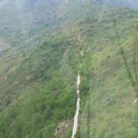
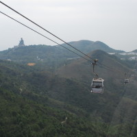
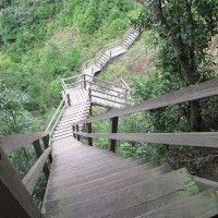
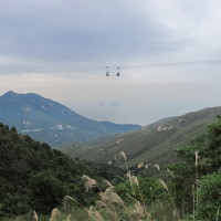
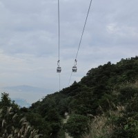
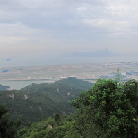
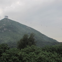
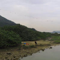
My wife and I went for a hiking on Nov. 16, 2011. We walked downhill from Ngong Ping (昂坪) Village to Tung Chung (東涌) city center along the Ngong Ping Trail (昂坪棧道). It took us about 3 hours to reach the Tung Chung city center (also the starting point of the Ngong Ping 360). The trail is not hard and the we can have sight view along the way. The Ngong Ping Trail is used as the access for maintenance and rescue trail for Ngong Ping 360 with much of it directly under the path of the cable cars. Although it is not designed for hiking, the Ngong Ping trail is actually a nice hiking path especially for those who do not want to walk too long.
We first take the Ngong Ping 360 cable car from Tung Chung to Ngong Ping. After having a sight view and lunch at the Ngong Ping Village, we started our walk along the Ngong Ping Trail. (We walked out of the Ngong Ping Village across a gate opposite to the Starbucks and got to the ending point of Ngong Ping Trail after a short walk. It is close to the Ngong Ping 360 cable car station).
After 3 hours’ walk, we went off the last maintain and went across the “river” (or sea) by a bridge (the one in the photo that appears at the beginning of the post). Then we walk to the Yat Tung Estate (東涌逸東鸷) and took a bus to the Tung Chung MTR station.
The Ngong Ping 360 official website provides some suggested routes.
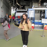
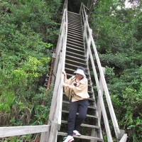
Some photos that I took along the way are as follows.
